science and discovery
Bedmap3 delivers the clearest map yet of Antarctica’s hidden landscape
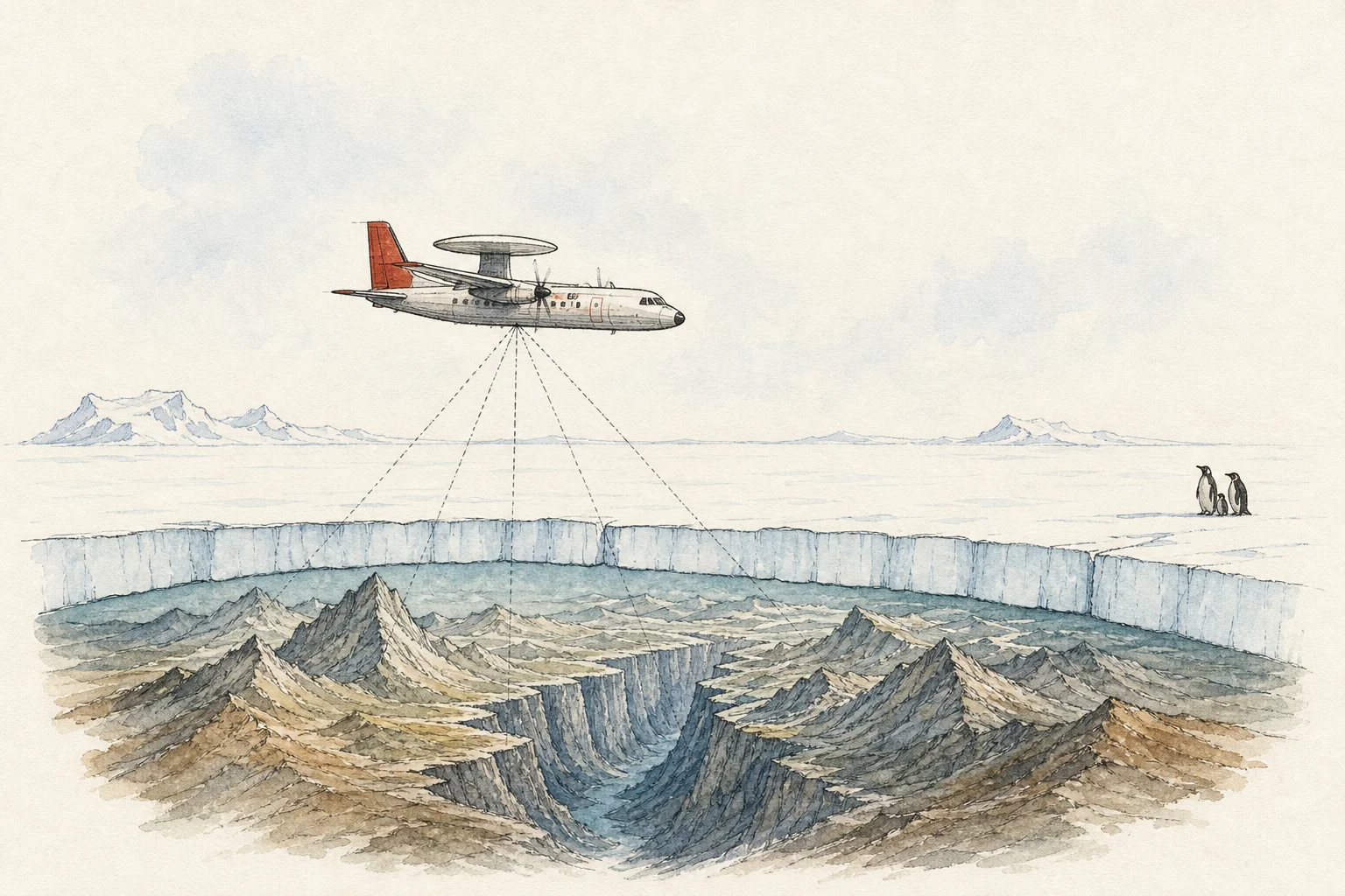
Scientists have produced the most detailed reconstruction yet of the landscape beneath Antarctica’s ice, revealing a continent shaped by mountain ranges, deep valleys, canyons and broad basins below sea level. The new atlas, Bedmap3, turns measurements gathered over more than six decades into a 500-by-500-metre grid of surface elevation, ice thickness and bedrock height.
Published in Scientific Data, the international project combines observations from aircraft, satellites, ships and ground expeditions. Its major update added 84 aerogeophysical surveys from 15 data providers, contributing about 52 million points across 1.9 million linear kilometres of measurements. Those additions helped fill important gaps in the Antarctic Peninsula, the Transantarctic Mountains and western coastal areas.
The sharper picture has already corrected a notable record. The greatest known vertical distance from Antarctica’s ice surface to its rocky bed is now located above an unnamed canyon in Wilkes Land, where the ice is 4,757 metres thick, rather than in the Astrolabe Basin as previously thought.
Bedmap3 is not a forecast of an ice-free Antarctica. Its value is practical: the shape and slope of the hidden ground can speed, channel or restrain ice moving toward the ocean. The dataset also maps subglacial lakes and drainage routes, giving researchers a stronger foundation for modelling where glaciers may lose mass and for narrowing uncertainty around future sea-level rise.