technology and innovation
China’s satellite and radar network delivers 3D view of typhoon rainfall
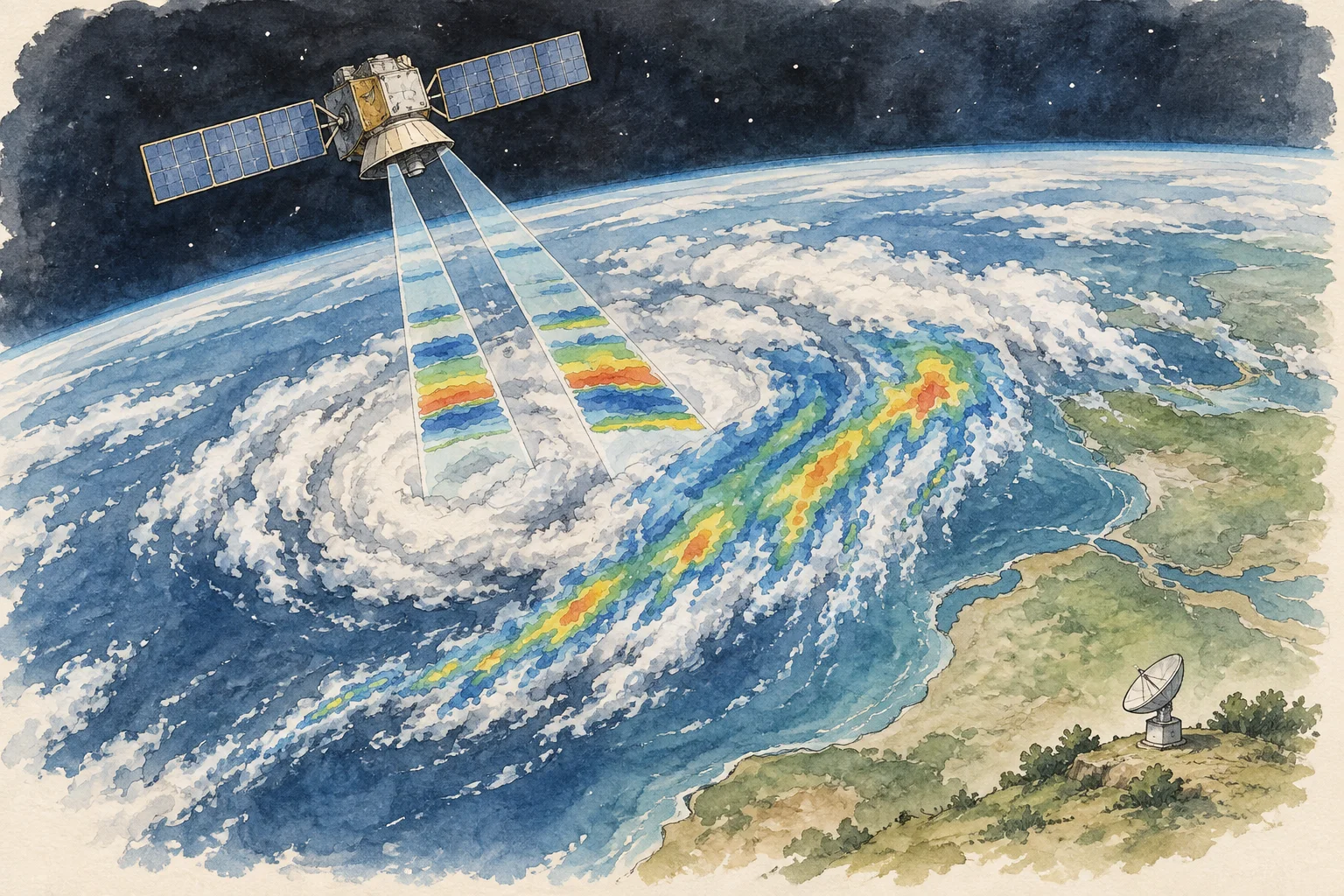
China’s integrated satellite and ground radar system has demonstrated that it can map a typhoon’s rainfall in three dimensions, giving forecasters a clearer view of dangerous weather as it develops. During Typhoon “White Dolphin,” the Fengyun-3G satellite worked with the national weather radar network to resolve the storm’s spiral rain bands, rainfall intensity and spatial distribution.
The satellite’s dual-frequency precipitation radar detected peak instantaneous rain rates of up to 100 millimetres an hour and storm echoes reaching about 10 kilometres high. Those observations supported assessments of intensity, rainfall forecasts, near-term warnings and disaster planning, according to the China Meteorological Administration. The successful deployment shows that the country’s space-to-ground precipitation observing system is now operating as an integrated tool rather than a collection of separate instruments.
On the ground, more than 280 large S- and C-band radars provide broad monitoring, while over 560 smaller X-band units fill low-altitude gaps and improve local detail. Together they cover more than 54% of China at one kilometre above the surface. In orbit, Fengyun-3G is China’s first and the world’s third active precipitation-measuring satellite. Its radar can also detect weak rain and examine precipitation over oceans and complex mountain terrain, where ground coverage is limited.