science and discovery
Deep-sea images reveal how a tectonic plate breaks apart
Scientists have captured unusually clear images of a tectonic plate slowly breaking into sections beneath the Pacific Ocean, offering a rare look at a geological transition usually reconstructed from ancient evidence.
The research focuses on waters off Canada's Vancouver Island, where the Juan de Fuca and Explorer plates move beneath the North American plate. This sinking process, called subduction, helps shape the planet and can generate powerful earthquakes and tsunamis.
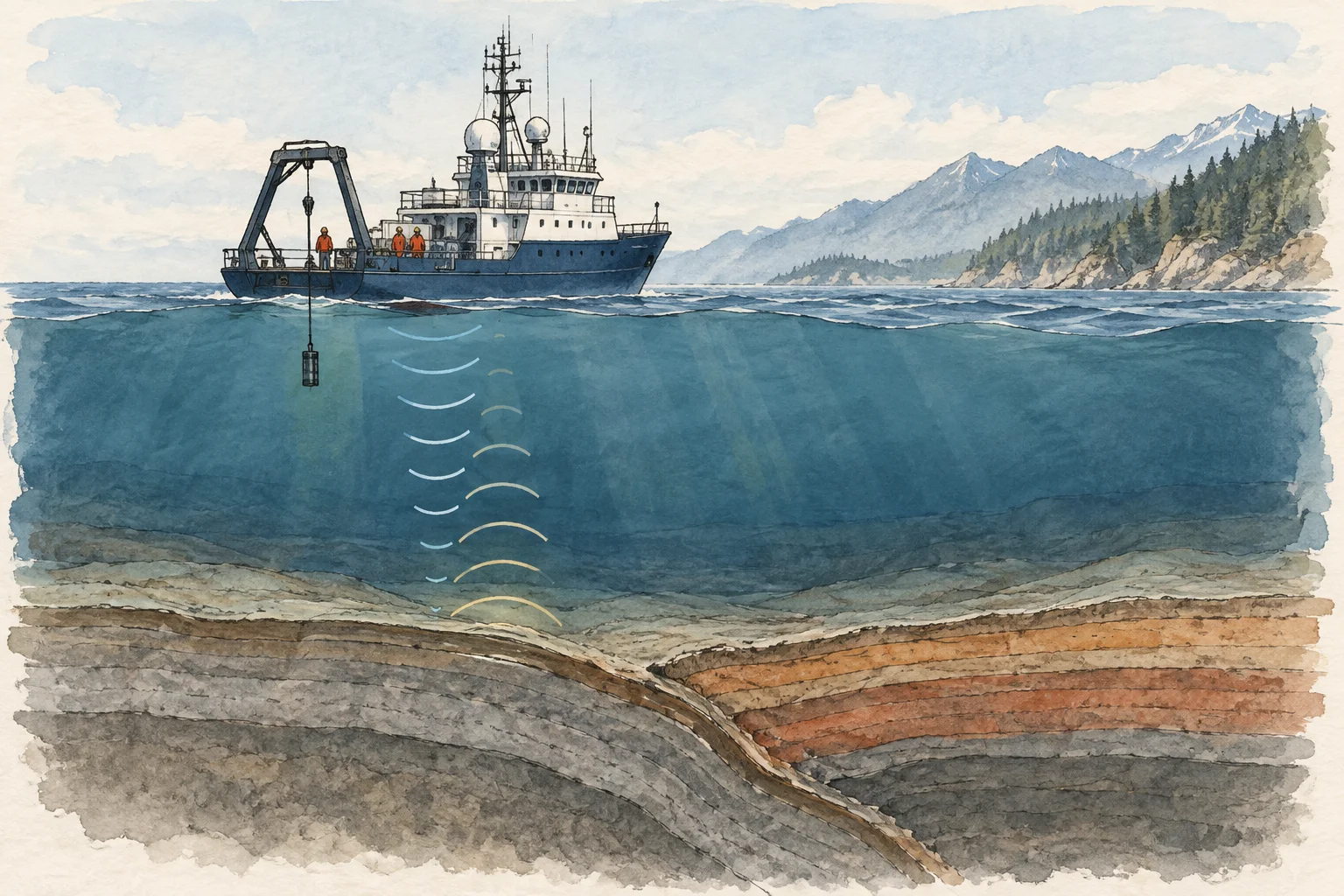
Led by Louisiana State University geologist Brandon Shuck, the study was published in Science Advances in September 2025. Researchers combined earthquake records with images made by sending sound waves from a ship towards the seabed. The returning echoes revealed structures several kilometres below it, much as an ultrasound reveals what is hidden inside the body.
The team identified a fracture about 75 kilometres long. Some sections remain connected and seismically active, while others are quieter, helping researchers trace different stages of separation. The evidence suggests subduction can end piece by piece rather than in a single collapse.
Each fragment may take millions of years to detach. The finding does not significantly change Cascadia's earthquake threat on human timescales, and the region remains capable of major earthquakes and tsunamis. Instead, it gives scientists a clearer foundation for studying how deep fractures might affect the way future earthquakes spread.
Sources
- Semana.com Últimas Noticias de Colombia y el MundoCientíficos captan imágenes de cómo una placa tectónica comienza a romperse: la Tierra se fragmenta bajo el Pacífico
- www.vanguardia.comCientíficos captan cómo una placa tectónica se rompe bajo el mar frente a Canadá
- Portafolio.coCientíficos captan una placa tectónica rompiéndose bajo el Pacífico: qué implica para los terremotos