technology and innovation
Europe launches satellite designed to sharpen severe-weather warnings
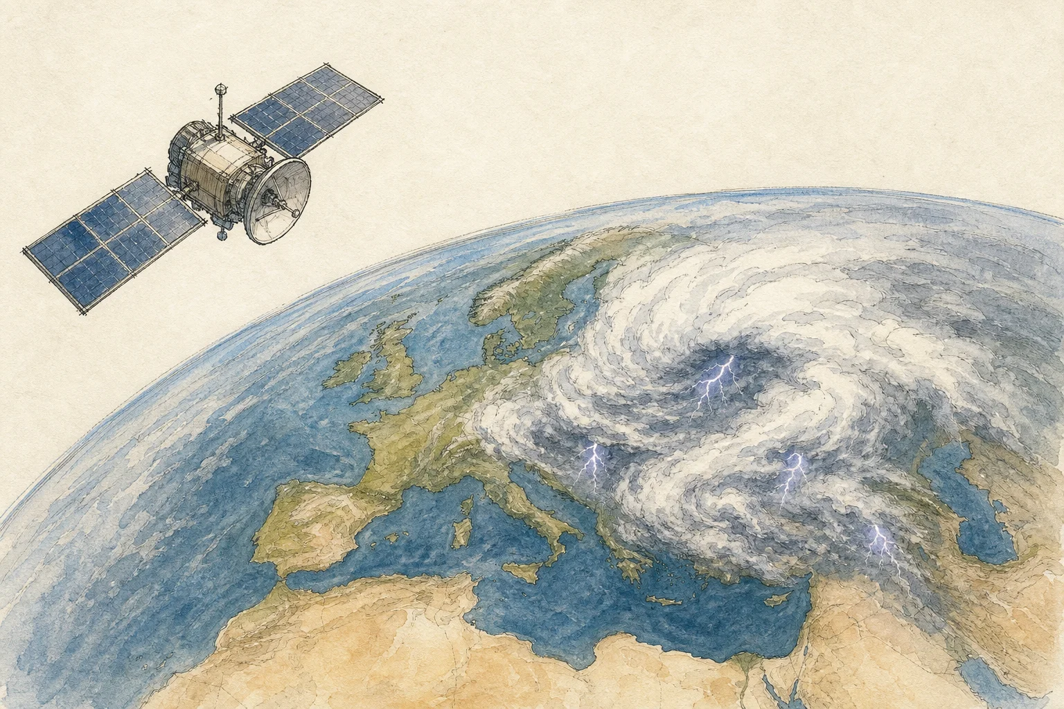
Europe has launched a new weather satellite designed to give forecasters a faster, more detailed view of rapidly developing storms. Meteosat Third Generation Imager-2 lifted off aboard an Ariane 6 rocket from Europe’s spaceport in French Guiana on 27 August. It joins two spacecraft already in orbit as part of a system developed by the European Space Agency for Eumetsat.
From geostationary orbit, about 36,000 kilometres above the equator, the satellite’s imaging instrument will observe its full view of Earth every 10 minutes and focus on Europe and northern Africa every 2.5 minutes. A second instrument will continuously monitor lightning.
The greater frequency is especially valuable for short-term forecasting. The resulting sequences can show how thunderstorms, hail, heavy rain and strong winds are evolving, while also helping specialists detect wildfire hotspots and volcanic ash clouds. A German Weather Service expert said the film-like view could reveal thunderstorm development about 15 minutes earlier than less frequent snapshots. The observations are also expected to support timely aviation warnings.
When the wider third-generation Meteosat system is fully operational, it is expected to produce at least 50 times more data than its predecessor. The launch also marked Ariane 6’s first mission toward geostationary transfer orbit and its farthest flight so far.