Technology and innovation
Mountain rescue trial cuts estimated search area by 99%
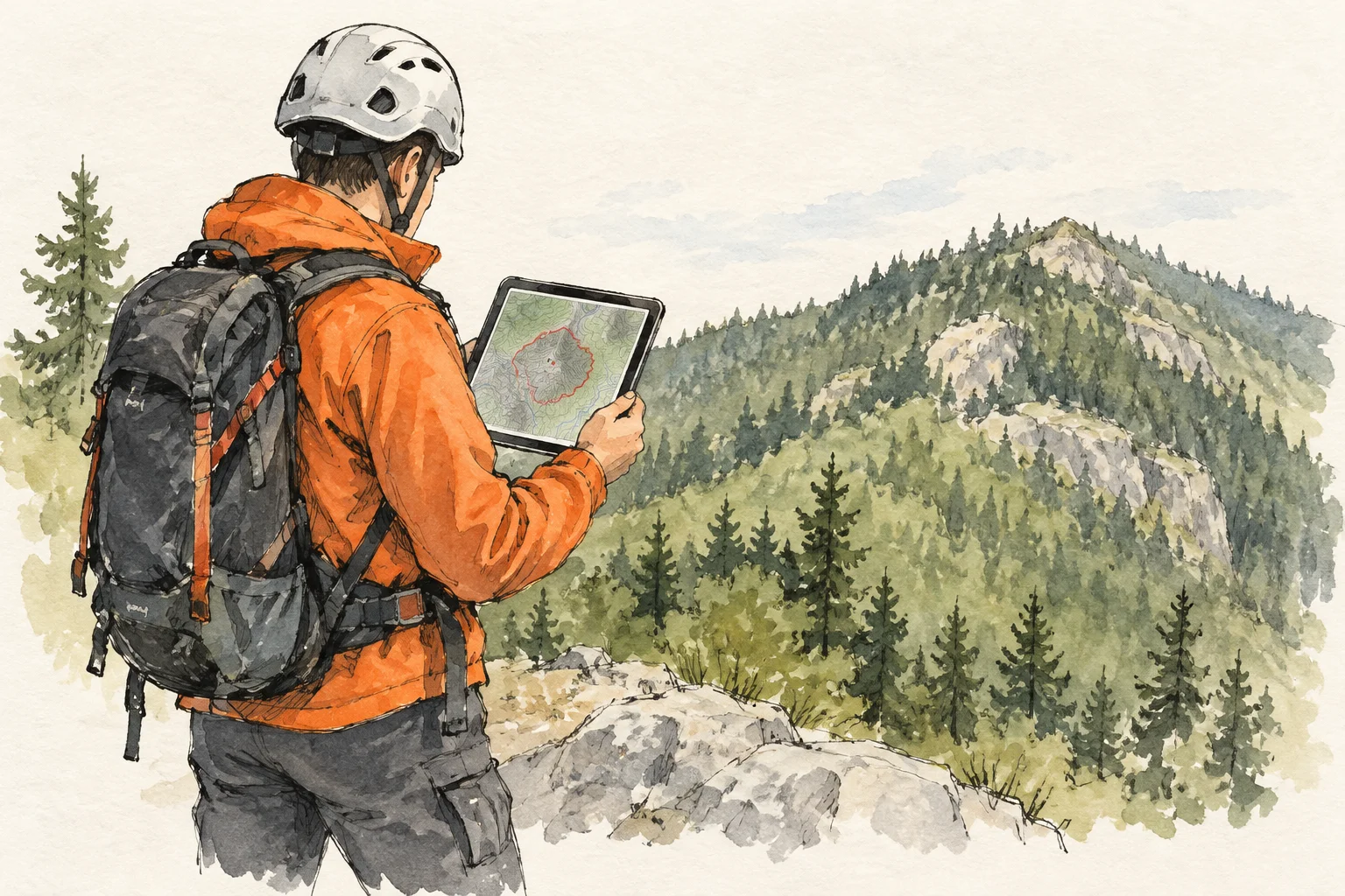
A mountain-rescue simulation in South Korea narrowed the estimated search area by about 99% using mobile-network data, telecoms company LG Uplus reported. An area of roughly 707 square kilometres was reduced to just over four.
The company worked with a radio-analysis specialist on Unjang Mountain in Jinan County. The trial simulated situations in which a stranded person had no GPS signal or their phone was switched off, leaving rescuers to work from earlier network connection records.
The initial search estimate covered a 15-kilometre radius around the last mobile tower the phone had contacted. The system then combined information about antenna directions and how far radio signals could reach across the terrain with connection records from different times. Together, these clues narrowed the likely search zone far more than the last tower location alone.
The approach does not obtain fresh GPS coordinates. Instead, it helps identify areas where rescue teams could concentrate people and equipment first.
The findings come from a simulation, not an actual rescue. Accuracy may vary with mountain terrain, tower locations and the missing person’s movements. The companies plan further tests to check reliability and practical usefulness before considering how the technology could fit into emergency agencies’ search operations.