science and discovery
Scientists turn thunder into a tool for imaging underground hazards
Researchers have successfully used vibrations generated by thunder to map structures beneath the ground, demonstrating a potentially less disruptive way to investigate shallow geological hazards.
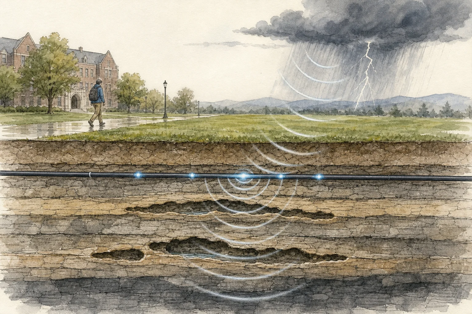
When thunder’s acoustic energy reaches the surface, some of it becomes seismic waves that travel through soil and rock. At Penn State’s University Park campus in Pennsylvania, researchers detected these “thunderquakes” with an existing telecommunications fiber-optic cable more than four kilometres long. Laser pulses transformed the cable into over 2,100 closely spaced vibration sensors.
Over two years, the system recorded 458 clear thunderquakes. By measuring how waves of different frequencies moved at different speeds and depths, the team reconstructed subsurface conditions down to roughly 100 metres without drilling. The resulting image revealed four zones where waves travelled unusually slowly, suggesting fractured or weathered rock, water or air. Two aligned with areas of active ground subsidence identified by satellite radar.
The study, published in Science Advances, is a proof of concept rather than a ready-made monitoring network. However, it shows that naturally occurring storms and fiber already buried beneath communities could complement conventional seismic surveys, which often require specialised equipment. Researchers say the approach could eventually help assess sinkholes, groundwater, landslides and building sites, including in places where earthquakes are uncommon or access is limited.